

THE K-Way MaxiRace Cape Winelands is taking place this weekend and one of its routes will cross Mont Rochelle Nature Reserve. Please note that on Saturday 1 October 2022 regular hikers will only be allowed to enter the reserve from 11am. Find out more about the race at their official website: MaXiRace Cape Winelands orContinue reading “K-Way MaXiRace”
Author Archives: montrochellehiking
Mont Rochelle SkyRace®
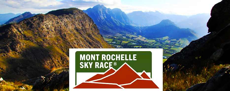
ANOTHER year gone and it’s already time for this year’s Mont Rochelle SkyRace®, taking place at the reserve on Saturday, 3 September 2022. On the day of the race regular hikers will only be allowed to enter from 11am. Find out more about the race at the official Mont Rochelle SkyRace® website or on theirContinue reading “Mont Rochelle SkyRace®”
Upgrading our trails

MEURANT Botha and his Dirtopia team are doing excellent work upgrading our footpaths. They’ll be there most of December into January.Special thank you to Muratie Wine Estate for donating the wooden poles the team is installing on the trails in our beautiful reserve.
Trail maintenance
Please note that maintenance work will commence this week on the Vista and Uitkyk trails. Visitors are still welcome and this shouldn’t inconvenience hikers too much. Thank you. (22 Nov 2021).
K-Way MaXiRace Cape Winelands
THE MaXiRace Cape Winelands trail race will be held in the reserve next Saturday (2 October 2021). Please note that, on the day of the race, regular hikers will only be allowed to enter from 11am. Find out more about the race at their official website: MaXiRace Cape Winelands or on their Facebook page.
Mont Rochelle SkyRace®
JUST a reminder that Summit Events will be hosting the Mont Rochelle SkyRace® at the reserve this coming Saturday (18 September 2021). On the day of the race regular hikers will only be allowed to enter from 11am. Find out more about the race at their official website: Mont Rochelle SkyRace® or on their FacebookContinue reading “Mont Rochelle SkyRace®”
Trail Maintenance
Please note that maintenance work has started on the Uitkyk Trail. Workers are currently stationed near Uitkyk, where the Manganese and Perdekop trails split off from the route. Visitors are still welcome and this shouldn’t impact on hikes too much. Thank you. (27 Aug 2021). UPDATE: Maintenance work has been completed.
Snow at Mont Rochelle

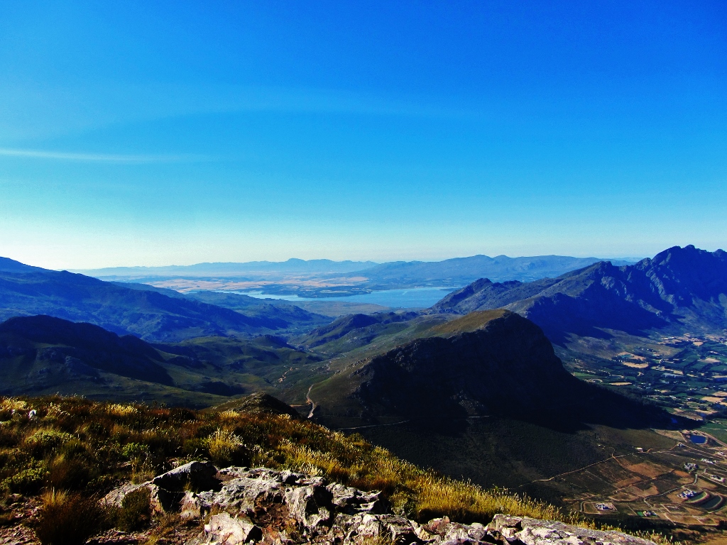
A SNOW UPDATE FOR WEEKEND HIKERS (23/07/2021): Most of the snow in the reserve has melted but there’s still a small amount left on Perdekop, the highest peak in the reserve. The Perdekop Trail is our longest trail – it usually takes about seven hours to hike in its entirety and the snow is quiteContinue reading “Snow at Mont Rochelle”
Buying permits

If you’re planning to buy your permits at the entrance gate, please note that we’re no longer accepting cash. We have a card facility or you can pay using the Zapper, SnapScan or Masterpass apps.
DuToitskop Trail
Duration: 5 hours Difficulty: Moderate Distance: +/- 13km THE in-and-out trail to DuToitskop Peak starts and ends at the main entry gate to the Mont Rochelle Nature Reserve. The trail rises about 660m to DuToitskop Peak (elevation 1 407m; 33-52-57 S; 19-09-00 E). A moderately fit person can hike to DuToitskop Peak in less thanContinue reading “DuToitskop Trail”
